
Web Mapping Applications
Web mapping is the newest way for organizations to share their data with the largest possible audience. The ILRDSS project utilizes ArcIMS and ArcGIS Server from Esri to create web-based mapping applications for decision support. We welcome any suggestions for applications! Please with your ideas.
Current Web Mapping Applications:
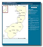 Fox Watershed GIS Data Viewer
Contains data covering the Fox Watershed in Northeast Illinois.
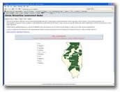 Illinois Streamflow Assessment Model
ILSAM produces statistical estimates of flow quantity in Illinois streams.
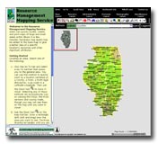 Resource Management Mapping Service (RMMS)
Supported under funding by IEPA and University of Illinois through the Illinois State Geological Survey and the Department of Geography and GIS, this site brings together state-wide resource data of interest to watershed planners and stakeholders.
- Home
- | Data
- | Maps/GIS
- | Models
- | Publications
- | Research
- | Agencies
- | Visualizations
All files and information © 2018 Illinois State Water Survey. Disclaimer.
Email the Web Administrator with questions or comments.